Pre-European
 Mangaonua is the name of the stream and gully which runs beside Te Ara Hou, starting in Ruakura and Maatangi and running to the Waikato River.
Before European settlement in the 19th century there was a Papakainga (village) under Kingi Taawhiao which took its name, Mangaonua, from the stream below and survived into the late 1800’s.
A surveyor’s plan from 1920 notes the remains of Maori buildings on the Western boundary.
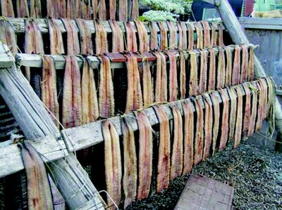
 The Mangaonua Stream was well known for its tuna (eels) and was a Mahinga Kai (food resource) of the local iwi (Ngaati Hanui, Ngaati Haumi and Ngamurikaitaua).
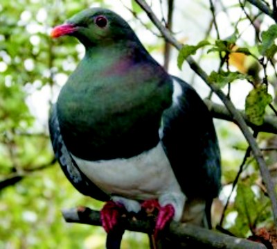
Morrinsville Road is an old track taken by the local iwi into Te Au o Waikato, which is now known as the Piako District. Along the track is an area known as Karipukahu, and old Mahinga Kai of the local iwi of that time. Karipukahu was once a forest of mainly Kahikatea trees and was populated with Kereru.


